

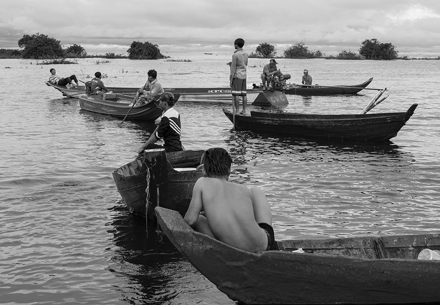
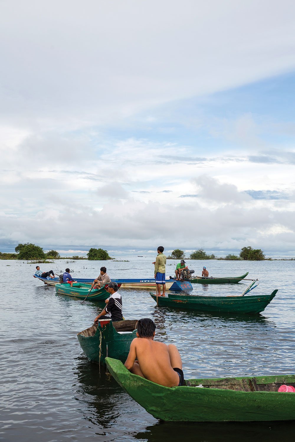
There is a yellowed map of Phnom Penh hanging by my desk in New York. It’s a 1:100,000 map, with the capital spidering out from the centre. A tiny knot of busy city lines fade out into the rural lands that make up most of the country to this day. To the west, south and north of Phnom Penh spread the low-lying floodplains. To the east sit the rivers that made this city a trade centre hundreds of years before it became the capital.
They lie like a messy letter X, the four river arms, with Phnom Penh nestled where they cross. The Mekong River is a fat line, carving in from the northeast before abruptly doglegging at the confluence and spilling down toward the delta in Vietnam. A slimmer offshoot, the Bassac River, pulls off from the Mekong and flows south, nearly parallel to its mother river. The Tonle Sap River makes the fourth arm, cleaved from the Mekong to wend its way northwest. On my map, I can trace the turquoise line up only eighty kilometres or so and so you can’t see how it slices its way towards the Tonle Sap Lake, spilling into that huge basin that cuts across the nation’s centre.
More from Mekong Review
-
A new book examines the challenges facing Cambodia's 'Great Lake'
-

Poetry from Rupert Arrowsmith
-
The long-awaited Heng Samrin autobiography
- Tags: Abby Seiff, Cambodia, Issue 21